Data-driven crop intelligence powered by advanced multispectral imaging and precision farming analytics, enabling accurate yield prediction, early soil stress detection, and informed decision-making for superior agricultural performance.
Benefits for Farmers
Precision Agriculture
Leverage intelligent crop monitoring to detect early signs of stress and performance issues, enabling timely intervention and maximizing agricultural outcomes.
Cost Efficiency
Enhance profitability through precision-driven spraying and advanced crop monitoring, reducing operational costs while improving productivity and resource efficiency.
Time-Saving
Deliver fast, accurate, and scalable field coverage through intelligent aerial solutions, enhancing efficiency and productivity across large agricultural operations.
Sustainability
Drive sustainable agricultural growth through precision-driven insights that minimize chemical use, reduce water waste, and maximize resource efficiency.
Smarter Farming for Greater Profitability
Increase Crop Yields
Time Savings in Farm Management
Reduce the cost of labour and Resources
Increase Crop Yields
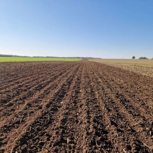
Transforming Fields into Smart Farms
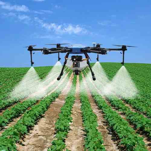
Precision Spraying
Empowering agriculture with intelligent precision spraying, delivering highly accurate and uniform chemical application through advanced drone systems. It eliminates inefficiencies such as over-spraying and coverage gaps while ensuring complete transparency with mapped reports, aerial insights, and verifiable application data.
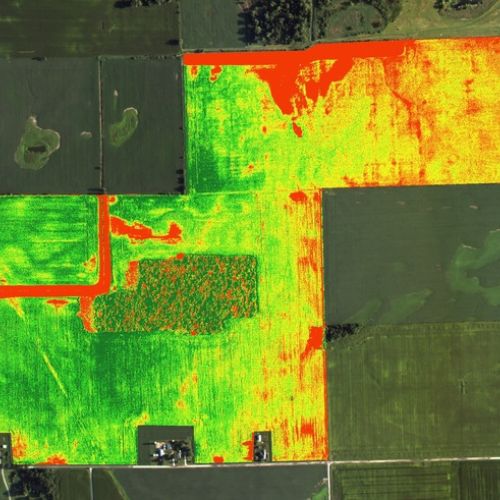
Crop Health Monitoring
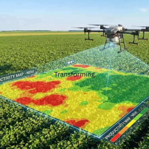
Transforming agriculture through intelligent aerial monitoring, Crop Health Analysis utilizes high-resolution drone data and advanced analytics to detect crop stress early, evaluate vegetation health with precision, and deliver real-time, actionable intelligence for sustainable and high-performance farming.
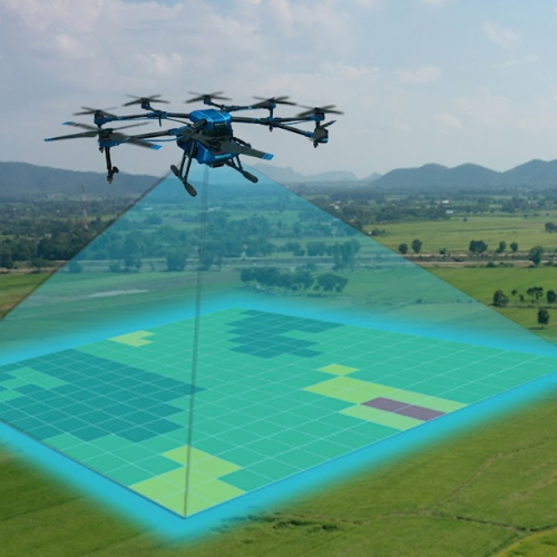
Soil Mapping & Nutrient Analysis
Soil Mapping & Nutrient Analysis uses drone technology and spectral data to evaluate soil conditions, moisture levels, and nutrient balance, helping farmers make smarter decisions for better crop performance and efficient resource usage.
Seed Spreading
Seed Spraying uses drone-enabled precision seeding systems to ensure uniform seed distribution across fields, improving coverage accuracy, reducing labor effort, reaching inaccessible areas, and providing complete digital traceability through mapped reports and visual data analytics.

Pollination Assistance
Transforming agricultural productivity through intelligent drone intervention, Pollination Assistance enhances natural pollination using targeted airflow and precision mechanical stimulation—ensuring optimal flowering, improved fruit set, and higher yield outcomes with comprehensive aerial analytics and performance reporting.
Disease & Pest Detection
Soil Mapping & Nutrient Analysis uses drone technology and spectral data to evaluate soil conditions, moisture levels, and nutrient balance, helping farmers make smarter decisions for better crop performance and efficient resource usage.
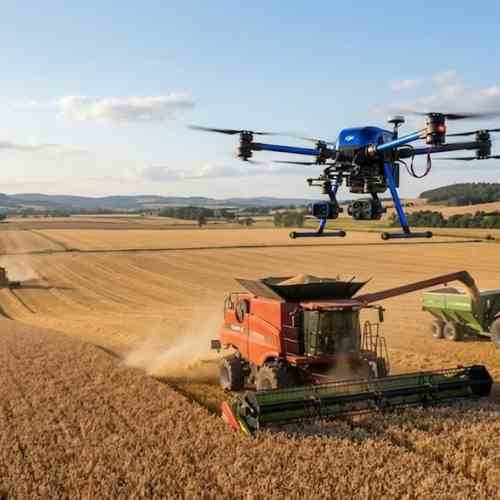
Harvesting Assistance
Transforming post-harvest intelligence through aerial precision, Harvesting Assistance utilizes drone-based imaging to map harvested areas, analyze residue distribution, and validate completion with geo-referenced accuracy—delivering transparent yield insights and detailed visual documentation of field conditions.
Agriculture and Environmental Monitoring
Agricultural and Environmental Monitoring uses drone imaging to capture real-time visuals of fields and environmental areas, offering quick wide-area insights for assessment, documentation, and field-level decision support.